Home
Illustrator Scripts
Links
About
Shopping Cart
Home
Country Maps
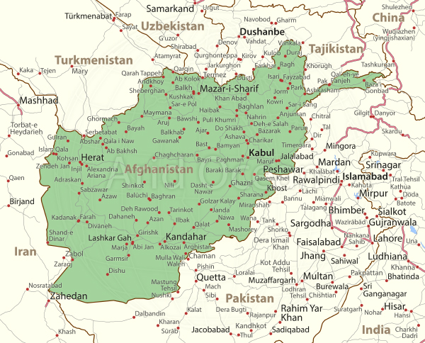
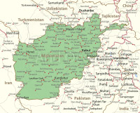
Afghanistan
Afghanistan
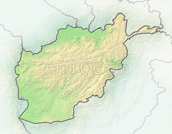
Afghanistan, shaded relief map.
Afghanistan, shaded relief map.
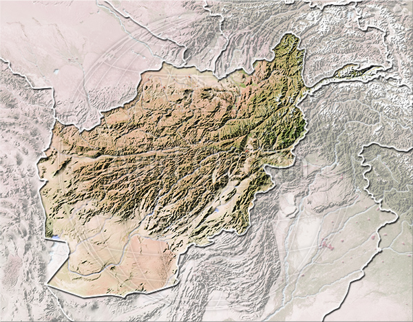
Afghanistan, shaded relief map.
Afghanistan, shaded relief map.
Afghanistan
Afghanistan
© 2007-2024 Michael Schmeling. All Rights Reserved.